C-Map Gulf Of Finland & Aaland Max-N+


- Product Code: 9420024192405
- Manufacturer part number: M-EN-Y309-MS
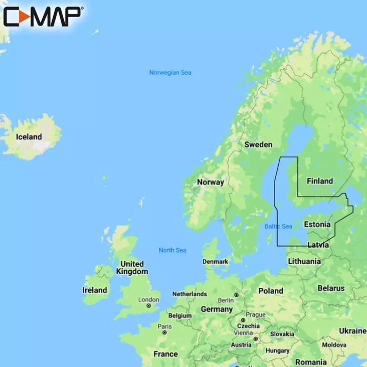
C-MAP Max-N+ Local Chart coverage the Gulf of Finland & Aaland Archipelago.
Max-N+ is the go-to chart to power your fishing, cruising or sailing trips.
Compatible with B&G, Simrad & Lowrance chartplotters. Check the C-MAP website for full compatibility by manufacturer and model.
MAX-N+ Charts are C-MAP’s premium offering and are available in Local / Wide / Continental formats.
Like all C-MAP charts, when you buy a MAX-N+ Chart you will receive free chart updates for 12 months.
Max-N+ Local & Wide Chart Features include:
- Full-Featured Vector Charts – making navigation easier by providing accurate, up-to-date vector chart detail derived from official hydrographic office information
- Custom Depth Shading – customise your experience. Custom Depth Shading offers many options. You can set a colour to alert you when you are out your safe depth, use a traditional paper-like view or create your own custom palette
- C-MAP Genesis Layer – adds 1 foot depth contours compiled from Genesis social mapping, on top of the official charts
- Hi Res Bathymetry Layer – HRB helps you identify shallow areas, drop offs, ledges, holes and humps on the sea, river or lake bottom
- Easy Routing – automatically plots the shortest, safest route based on detailed chart data and your input vessel information
- Tides & Currents – shows projections of water level and direction of tides to help you plan your day out angling or sailing
- C-MAP App Sync
- Detailed Port Plans – enhanced detail as you come into port – ideal for when you are sailing in less familiar areas
- Shaded Relief – brings the world around your vessel to life, with 3D rendered land and underwater elevation
- Dynamic Raster Charts – giving you the traditional chart look and feel, coupled with easy access to all key elements of chart data
- Satellite Overlay – overlay satellite imagery to give you more information about your surroundings when you find yourself in an unfamiliar place
- Aerial Photo’s – constructed from thousands of photo’s of marinas, harbours, inlets and other areas of importance. Overlay aerial photo’s to see an additional level of detail
- C-MAP Max-N+ Local Chart coverage the Gulf of Finland & Aaland Archipelago.
- Full-Featured Vector Charts
- Custom Depth Shading
- C-MAP Genesis Layer
- C-MAP App Sync
- Hi Res Bathymetry Layer
- Easy Routing
- Tides & Currents
- Shaded Relief
- Dynamic Raster Charts
- Satellite Overlays
- Detailed Port Plans with Aerial Photo’s